Dallas Fort Worth - Regional Map by Rand McNally
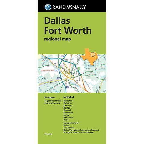
Rand McNally’s folded map for Dallas Fort Worth is a must-have for anyone traveling in and around this part of Texas, offering unbeatable accuracy and reliability at a great price. Our trusted cartography shows all Interstate, U.S., state, and county highways, along with clearly indicated parks, points of interest, airports, county boundaries, and streets. The easy-to-use legend and detailed index make for quick and easy location of destinations. You’ll see why Rand McNally folded maps have been the trusted standard for years.
Regularly updated
Full-color maps
Clearly labeled Interstate, U.S., state, and county highways
Indications of parks, points of interest, airports, county boundaries, downtown & vicinity maps
Major attractions & Golf Courses
Enlargements of Dallas, Forth Worth, Dallas/Fort Worth International Airport, Arlington Entertainment District.
Easy-to-use legend
Detailed index & Major Street Index
Convenient folded size
Coverage Area
Communities Included: Arlington, Cleburne, Corsicana, Denton, Garland, Greenville, Irving, McKinney, Plano.
PRICE INCLUDES POSTAGE AND HANDLING
This item is out of stock
We hope to have more stock in very soon. If you have any questions about this product, please contact us.

Connect with us...