Africa Wall Map - by National Geographic
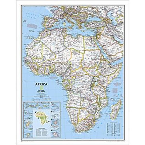
This LARGE political wall map of Africa features country boundaries, place names, bodies of water, airports, major highways and roads, and much more. It also includes a helpful inset map of surrounding islands
This large map measures 91 × 117 cms
PRICE INCLUDES POSTAGE AND HANDLING
This item is out of stock
We hope to have more stock in very soon. If you have any questions about this product, please contact us.


Connect with us...